A map of Oceania
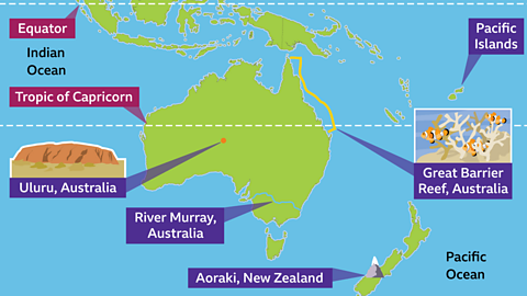
Map of Oceania
- Most of Oceania is in the Southern Hemisphere.
- There are fourteen countries in Oceania, including Papua New Guinea, New Zealand and Australia.
- Oceania is surrounded by the Indian Ocean to the south, and the North Pacific Ocean and the South Pacific Ocean to the west.
- Oceania is made up of around 10,000 islands.
Physical geography
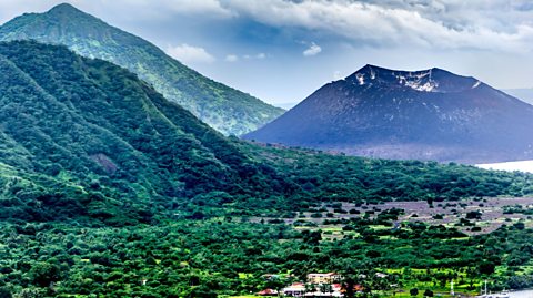
Rabaul in Papua New Guinea.
Climate
- Parts of Oceania can be very warm and get a lot of sun all year round.
- The north of Oceania has a tropical climate, like in Papua New Guinea. There can be monsoons in the wet season as there is heavy rainfall.
- Other parts of Oceania are very hot and dry, like Australia.
Rabaul in Papua New Guinea.
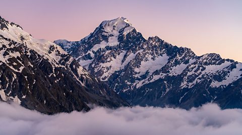
Aoraki mountain in New Zealand
Features
- Uluru in Australia is a famous sandstone rock. It is sacred to Aboriginal Australians.
- The Great Barrier Reef off the coast of eastern Australia is the world’s largest coral reef system.
- One of the highest mountains in New Zealand is Aoraki at 3,754m high.
Human geography
- Australia is Oceania's largest island and has a population of around 25 million people.
- Key cities in Oceania include Australia's capital city Canberra, Sydney (also in Australia), Auckland (New Zealand), and Port Moresby (Papua New Guinea).
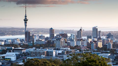
Auckland, New Zealand
- Many languages are spoken across Oceania. There are over 700 languages spoken in Papua New Guinea alone.
- Agriculture, fishing, forestry and tourism are some of Oceania's biggest industries.
Activity: Quiz – Oceania